Sindh to use satellite imagery for crop reporting
- By Web Desk -
- Jul 28, 2025
KARACHI: The Sindh government has decided to conduct a transparent survey of wheat stocks and employ satellite imagery services for crop reporting, ARY News reported.
As per details, the was made during a high-level meeting on wheat policy, chaired by Chief Secretary Sindh, Asif Haider Shah. The meeting included a detailed briefing on wheat reserves, annual consumption, and crop reporting.
According to Abdul Jabbar Khan, the Sindh Food Department currently holds 1.392 million metric tons of wheat in its reserves. Additionally, flour mills, mill owners, and the private sector possess another 2.200 million metric tons of wheat, as reported by the Food Department.
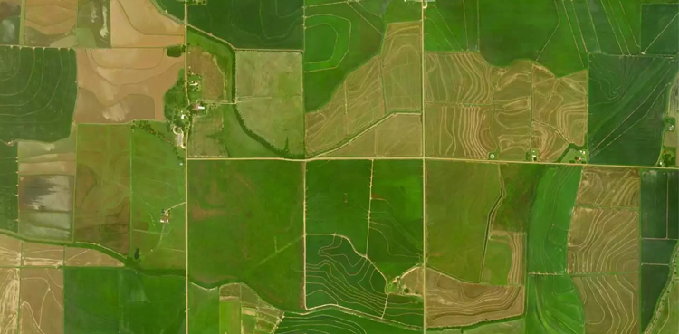
Chief Secretary Shah directed authorities to urgently complete a comprehensive survey of wheat stocks across the province. He stated that satellite imagery would be used to accurately monitor wheat crops, enabling data-driven and scientifically informed decisions through timely and accurate crop reporting.
Shah also conveyed the Chief Minister’s instructions to provide farmers with certified seeds, fertilizers, and machinery to enhance production for the upcoming season. The Sindh government will prioritize supplying verified wheat seeds, urea, and agricultural equipment to farmers. Additionally, a pricing mechanism for wheat will be developed to encourage farmers to cultivate more.
The government’s agricultural policy aims to boost wheat production and ensure food security, stated Chief Secretary Sindh.