Cyclone Kyarr: Surge in water levels affect coastal areas
- By Web Desk -
- Oct 29, 2019
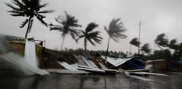
KARACHI: The surge in water levels caused by Cyclone Kyarr along Sindh’s coast from Karachi to Badin has resulted in water entering in Rerhi Goth, Latt Basti and Chashma Goth in Karachi and coastal settlements in Thatta and Badin districts due to high tides, ARY News reported.
The officials of rescue agencies present at the affected areas in Karachi have denied flooding situation in the area.
Pakistan Meteorological Department in its advisory on Monday night said, “the Super Cyclonic Storm over East-central Arabian Sea has tracked northwestward during last 12 hours and now lay centered near Latitude 18.6°N and Longitude 64.2°E with maximum sustained surface winds of 230-240 kmph gusting 265 kmph. The cyclone centered at about 750 km southwest of Karachi and 1080 km northeast of Salalah (Oman).
Kyarr is likely to move further northwestwards during next 36 hours and then turn southwestward.
The met office has said there is no direct threat to any coastal area of Pakistan, but, due to exceptionally strong winds around the system’s centre and roughness in sea, low-lying islands may suffer by water intrusion due to high tides.
The weather department has also predicted scattered dust storm or thunderstorm with rain in lower Sindh and along Makran Coast expected from Wednesday to Friday.
The fishermen are advised not to venture in open sea till 31 Oct.
According to the National Center of Meteorology of UAE, high tides were reported along the coast of Fujairah.
The NCM has issued a yellow warning for residents to stay alert.
Videos circulating online show an increase in water levels along coastal parts of Fujairah, with water flowing into roads, thus affecting motorists.
Additionally, the cyclone might cause strong winds to blow over parts of the UAE, with estimated wind speeds of 170-km/h to 200-km/h.
NCM said storm Kyarr is expected to weaken to a category one cyclone and change course by Wednesday at 4:00 pm, moving west-southwest.
Cyclone Kyarr: What NASA says
Moreover, the NASA’s Global Precipitation Measurement mission or GPM core passed over Kyarr from its orbit in space and measured rainfall rates throughout the storm.
GPM found the heaviest rainfall stretching from the northern to the eastern side of the storm where it was falling at a rate of over 40 mm (about 1.6 inches) per hour.
According to NASA Kyarr is moving west and is forecast to start weakening within 24 hours. The storm is then predicted to turn to the west-southwest while slowly weakening as it approaches the Gulf of Aden.