


ISLAMABAD: A strong westerly wave is likely to approach western parts of the country on Monday (today) and may grip upper parts on 25th February, according to the Met Office.
The westerly wave is likely to persist in the Northern Areas till 2nd March.
Under the influence of this weather system, rain and snowfall over hills in Balochistan is expected in Quetta, Ziarat, Chaman, Mastung, Pishin, Qilla Abdullah, Qilla Saifullah, Chagai, Noushki, Kalat, Khuzdar, Barkhan, Harnai, Zhob and Musakhel from today to 26th February.
Light rainfall is expected in Larkana, Qambar-Shahdadkot, Jacobabad and Sukkur districts of Sindh on 25th and 26th February.
Gilgit Baltistan and Kashmir will receive widespread rainfall and snowfall at hills from 25th February to 02nd March with occasional gaps.
Khyber Pakhtunkhwa districts will receive widespread rain with and snowfall at mountains from 24th February’s night to 01st March.
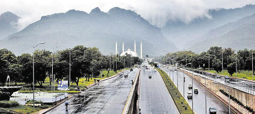
Punjab and federal territory of Islamabad will receive rainfall and moderate to heavy snowfall in Murree, Galliyat and surroundings from 25th February to 01st March with occasional gaps.
Rainfall is also expected in Hafizabad, Gujranwala, Mandi Bahauddin, Sargodha, Mianwali, Khushab, Gujrat, Sialkot, Narowal, Lahore, Sheikhupura, Faisalabad, T.T Singh from 25th February to 28th February, and in Jhang, Bhakkar, Multan, Dera Ghazi Khan, Layyah, Muzaffargarh, Taunsa Sharif, Khanewal, Sahiwal, Pakpattan, Okara, Bahawalnagar and Bahawalpur from 25th to 27th February.
Heavy rainfall may generate flash flood in vulnerable areas of Khyber Pakhtunkhwa and Kashmir during the forecast period.
There is possibility of the landslides in hilly areas of Khyber Pakhtunkhwa, Gilgit-Baltistan, Kashmir, Murree and Galliyat during the forecast period.
Hailstorm is also expected at isolated places in plain areas of Khyber Pakhtunkhwa, Punjab and Islamabad.
Tourists have been advised to remain extra cautious and may avoid unnecessary travelling during heavy snow/rainfall.
Leave a Comment